top of page

High-Resolution Aerial Photographs for Sewage & Water Infrastructure

SkyBridge Drone Solutions provides specialist aerial imaging for water and sewage infrastructure, delivering clear, high resolution visuals to support inspection, monitoring and project documentation.  

Expert Aerial Solutions for UK Infrastructure

High-Res Infrastructure Mapping

We capture detailed aerial photographs of sewage works, pumping stations and water treatment assets to support inspections, reporting and planning.

Site Overview & Access Planning

High-angle aerial images give your teams a clear view of whole sites, access routes and surrounding land, helping you plan works safely and efficiently.

Progress & Compliance Documentation

Regular aerial photo sets document construction and maintenance progress, providing clear visual records for stakeholders, regulators and internal reports.

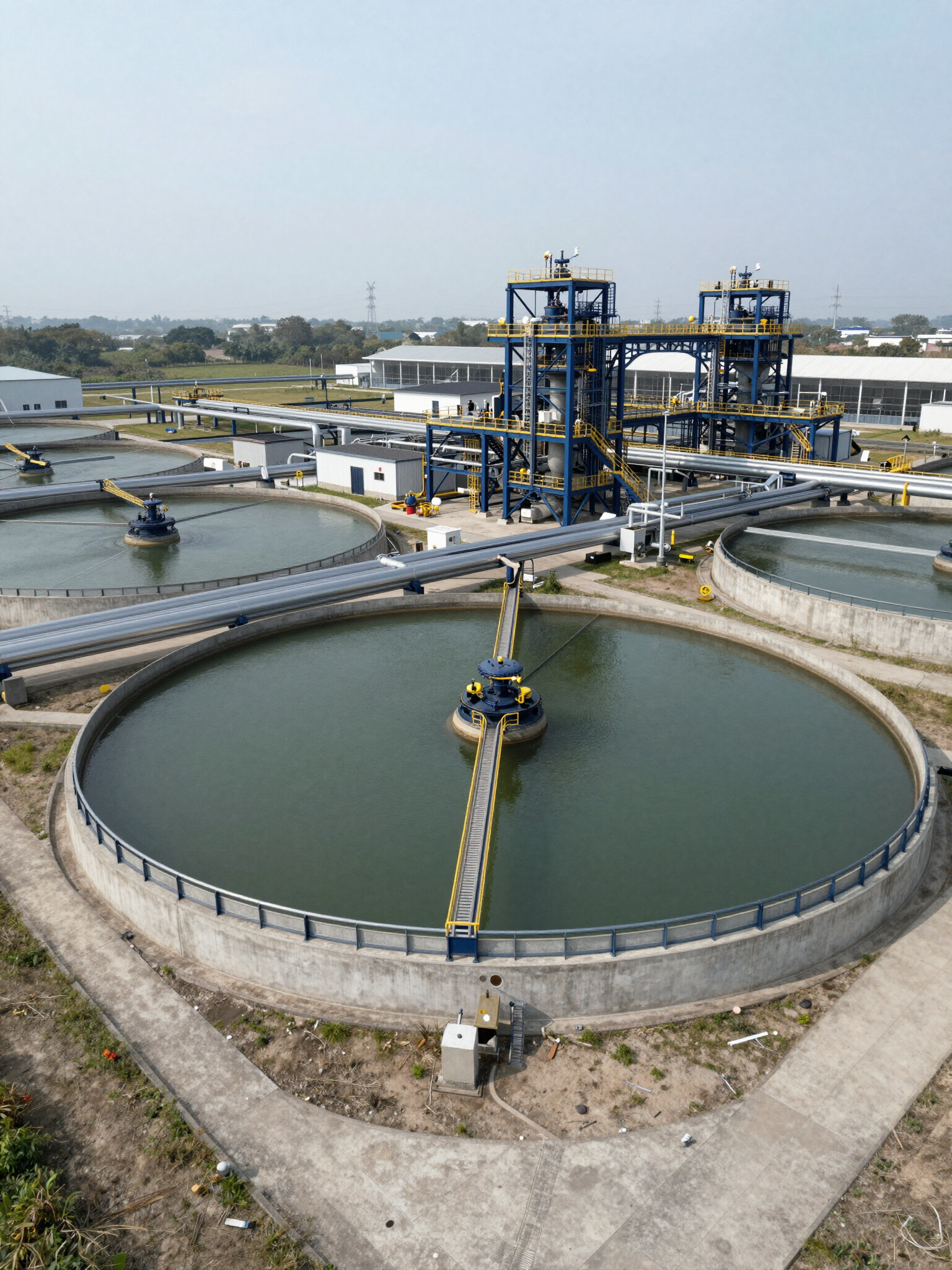
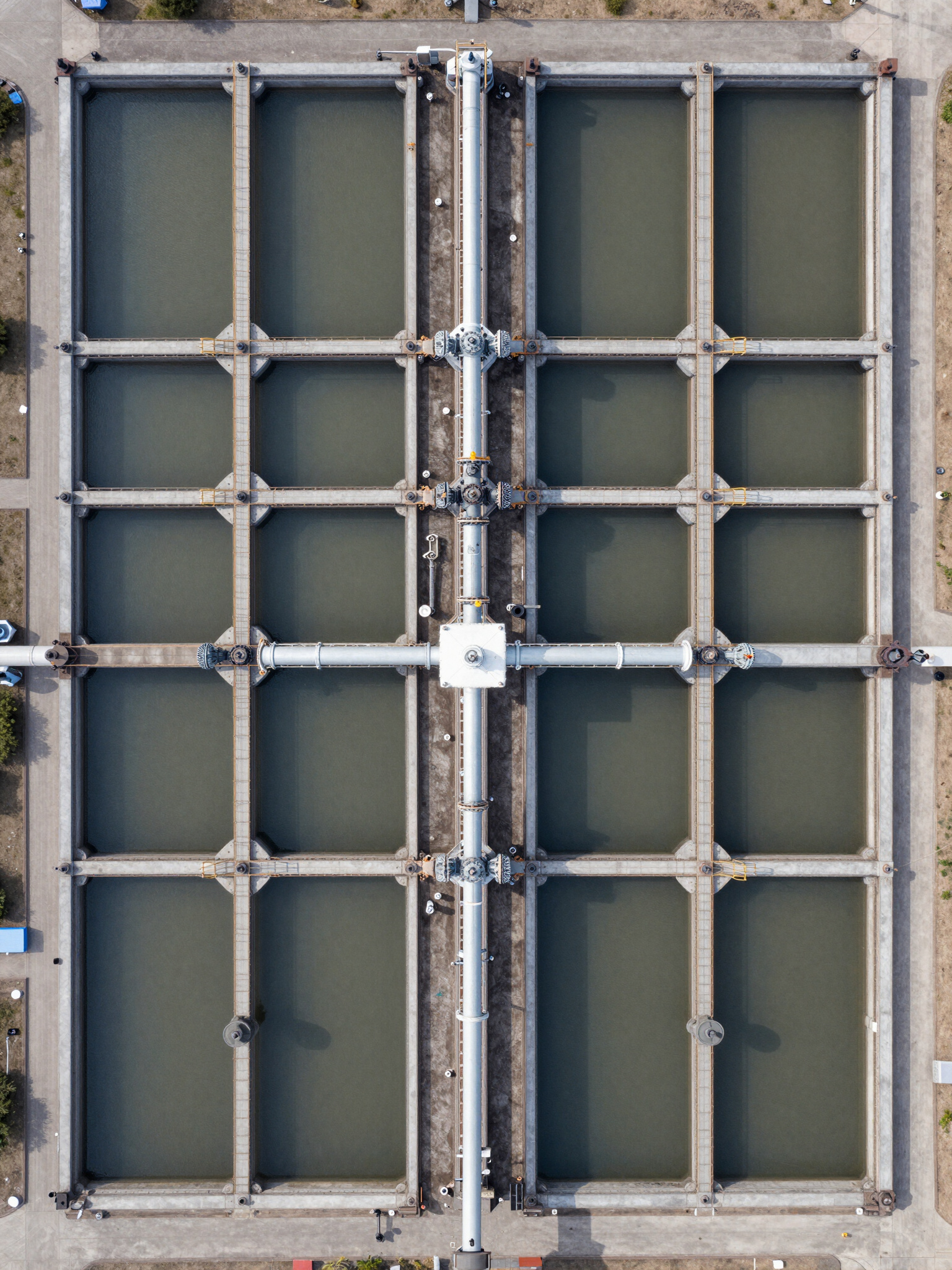
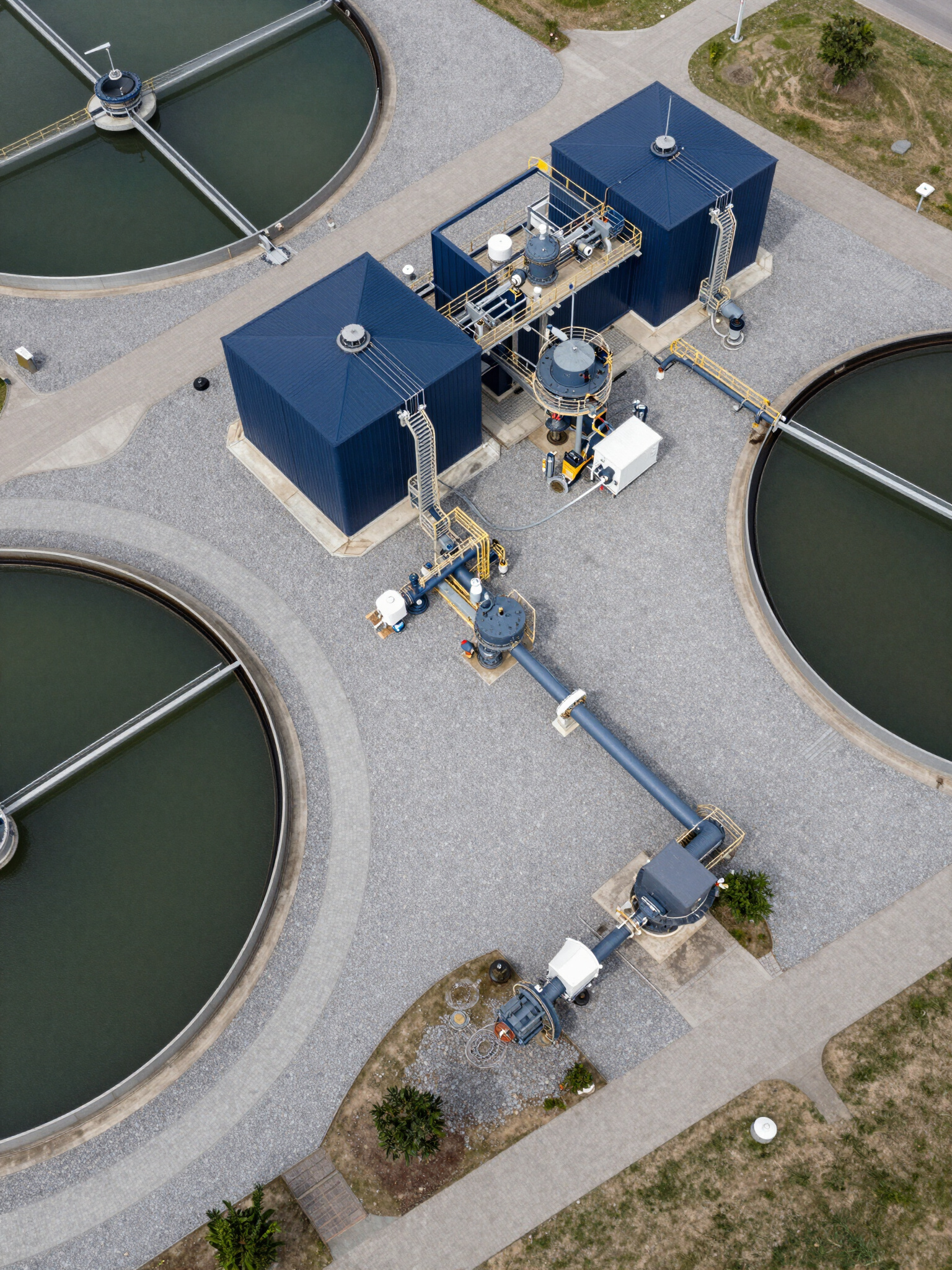
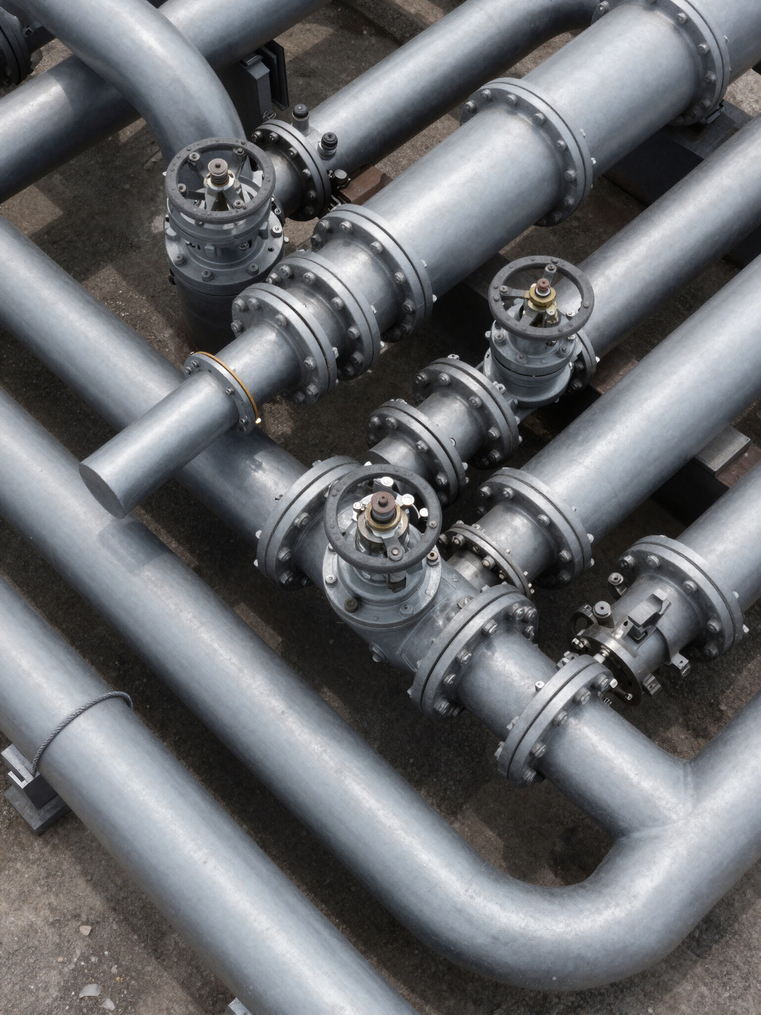
We deliver precise aerial imagery that helps contractors and project teams to monitor sites, assess conditions and maintain clear visibility across water and sewage infrastrcuture projects. 

SEWAGE AND WATER TREAMENT SITE IMAGING • HIGH-RESOLUTION AERIAL PHOTOGTRAPHY • ASSET MONITORING AND SITE OVERVIEWS • INFRASTRUCTURE INSPECTION SUPPORT

precision aerial imaging for
UK water infrastructure

Enquire Now

SkyBridge Drone Solutions

Professional Infrastructure Inspection Inquiry

Infrastructure Type

Please provide the site location details for your UK-based project below.

bottom of page